Community Histories
Indian River (2009)
Indian River (2009)
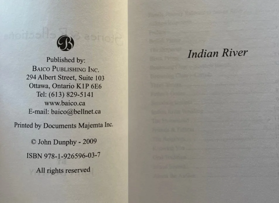
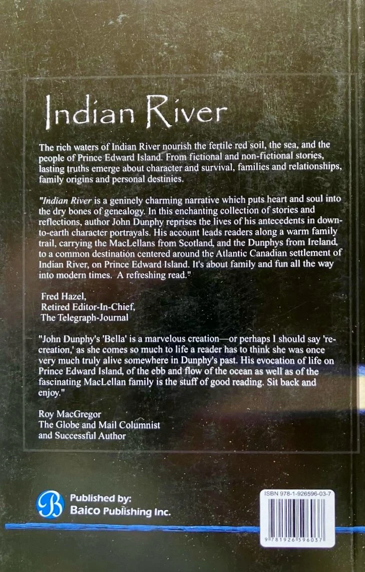
Title: Indian River: Stories and Reflections
Author: John Dunphy
Publisher: Baico Publishing, Ottawa, Ontario: 2009
Description: 8vo. 164 pp. Illustrated with portrait of the author. Softcover. Cover illustration and design by Tony Diodati. Collection of stories related to two early families in the community, the MacLellans and the Dunphys. Cover shows minor edge wear and surface scuffing. Interior pages clean.
Indian River is an unincorporated area in Prince County, Lot 18. The actual waterway flows west into Chichester Cove. Its precise location is N 46°28', W 63°42'.
The community of Indian River received its name from the number of Mi'kmaq Indians who made its tidal flats and adjoining low hills their homes from the earliest days. Indian River, a small but beautiful stream, is on the northeastern side of Richmond Bay, now known as Malpeque Bay. The stream flows past Tuplin's Mill, under the mill bridge on the Malpeque Road, through the woods, under the Indian River bridge, through fields into Chichester Cove, and on into Richmond (Malpeque Bay). It was along this river that the Indians camped.
Source: History of Indian River, 1973


