Maps
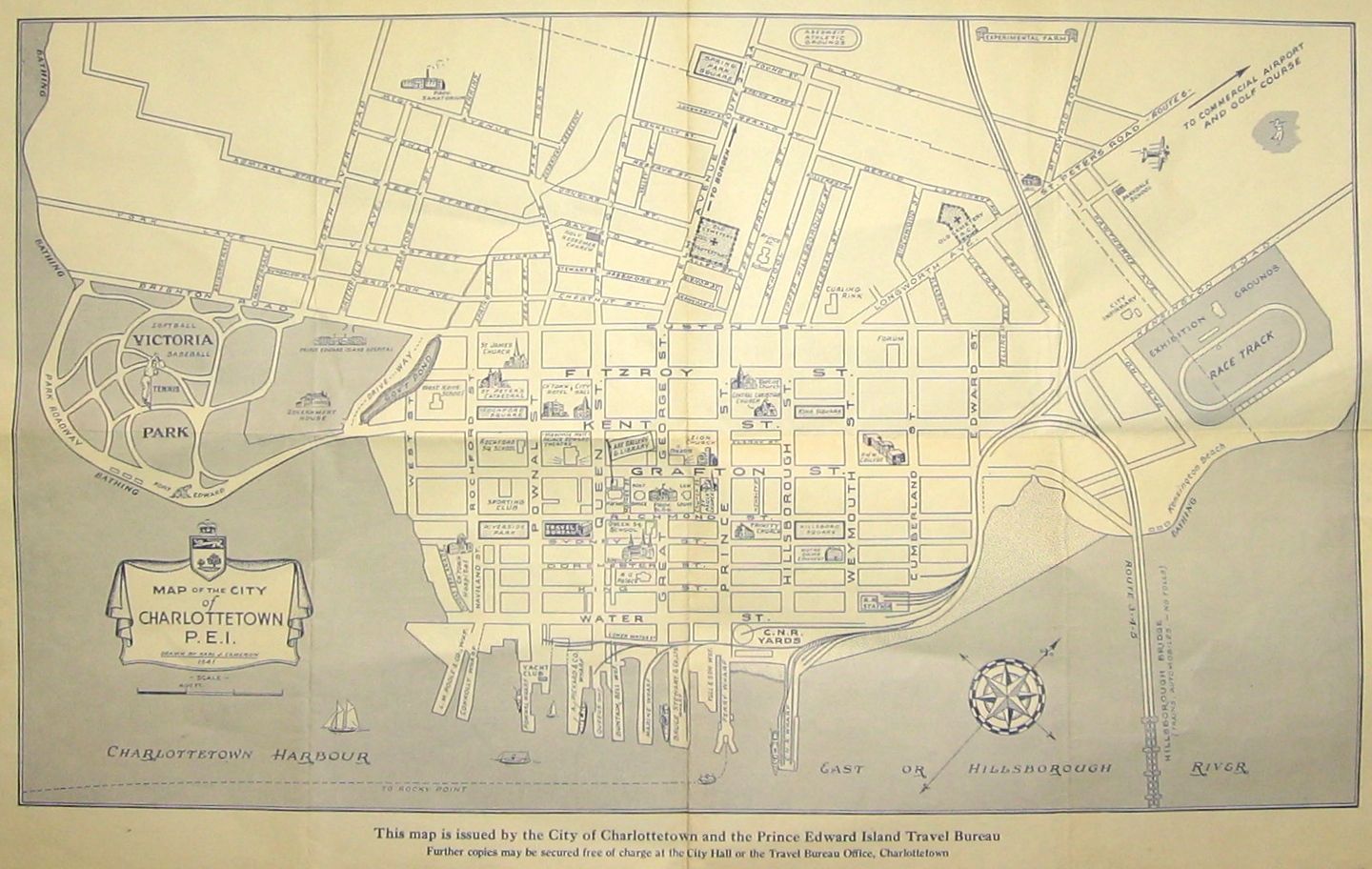
Charlottetown (1941)


Charlottetown (1941)
CA$75.00
An uncommon map of Charlottetown, P.E.I., by Karl J. Cameron (1907-1989). The map was first printed in 1941 for the City of Charlottetown and the P.E.I. Travel Bureau. It is a lithograph measuring 12" by 20 1/4" to the outer neat line. The map shows folds, as issued. Overall, we rate the map in fair to good condition.