Maps
Charlottetown (1991)
Charlottetown (1991)
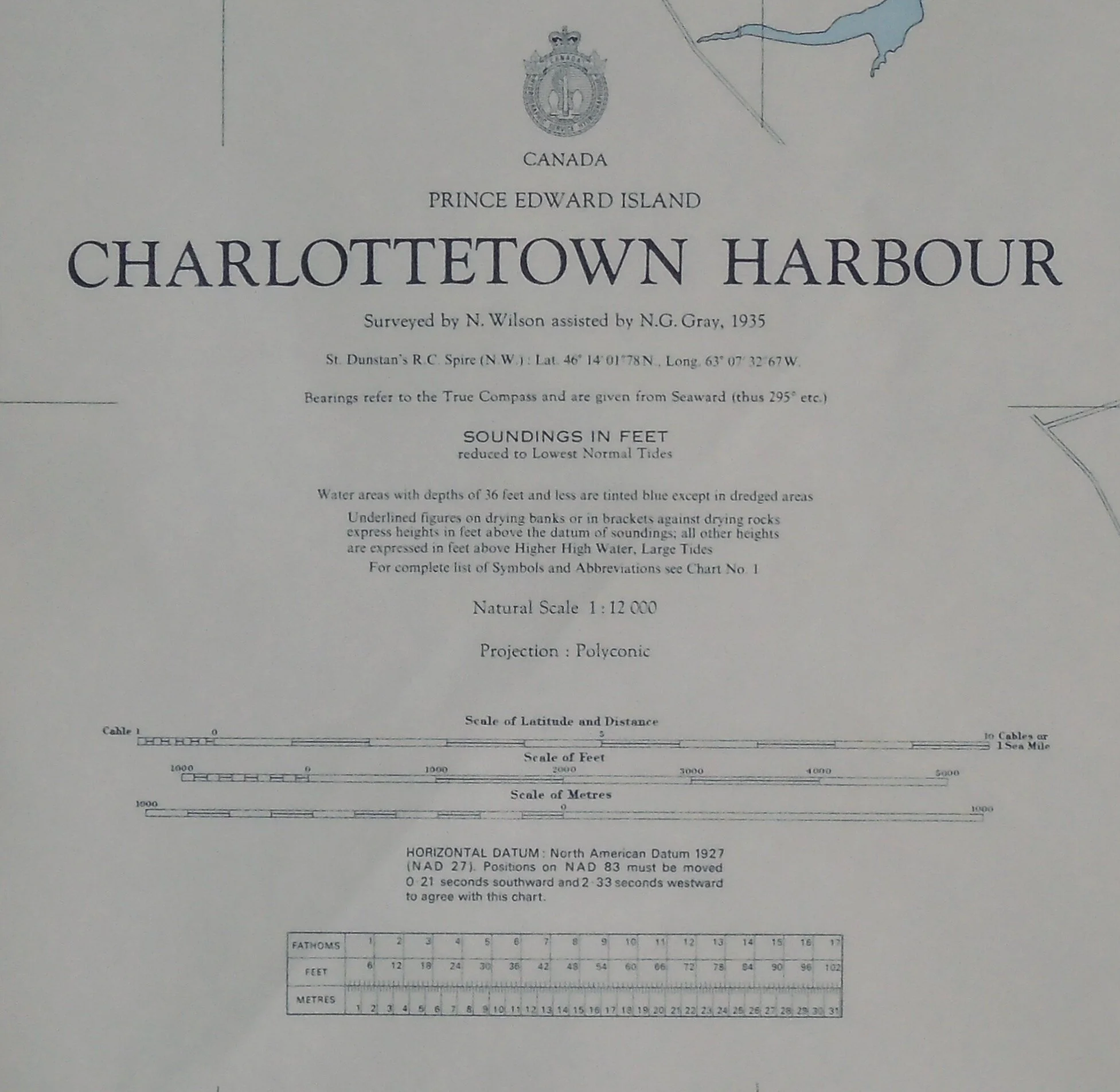
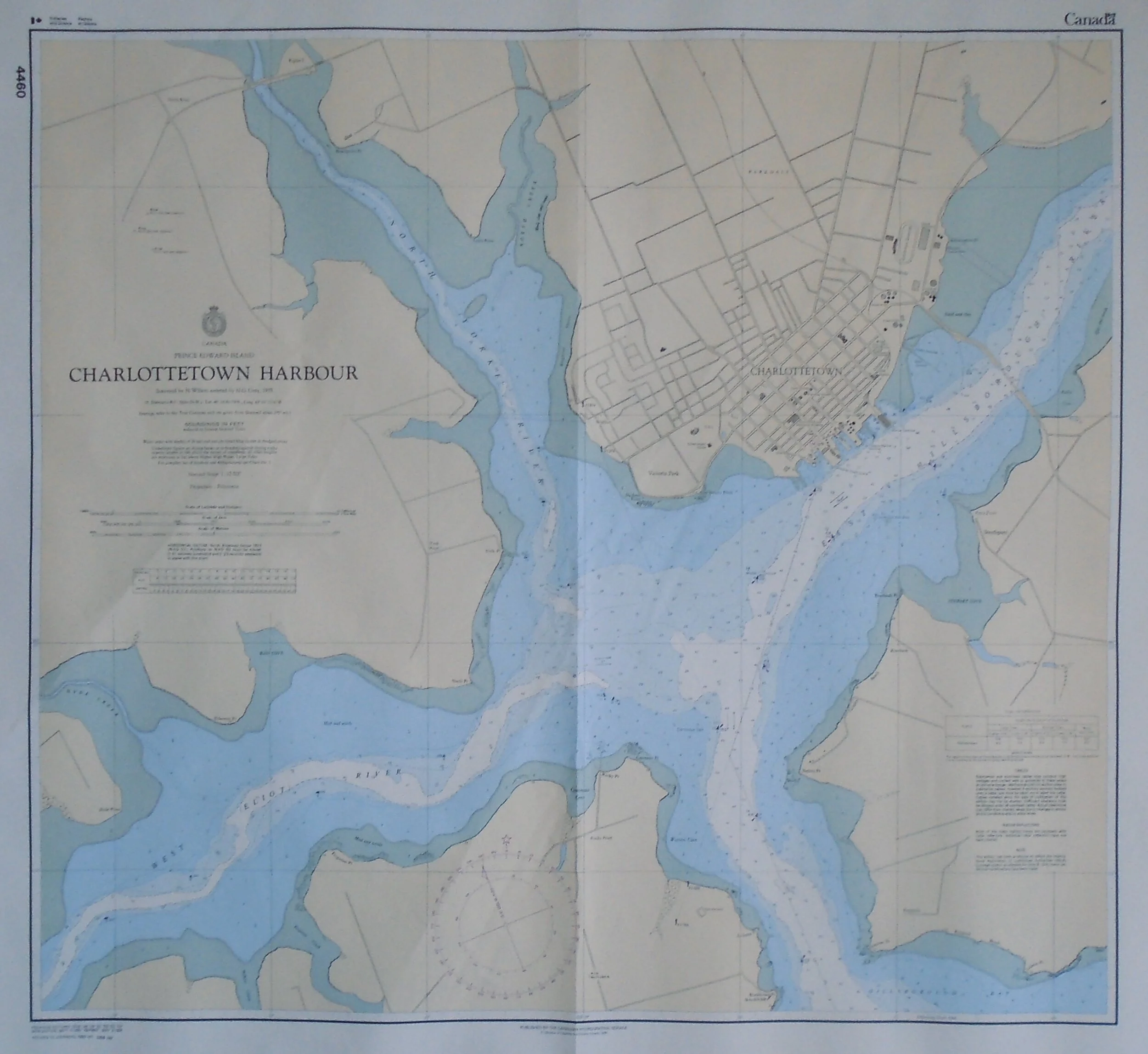
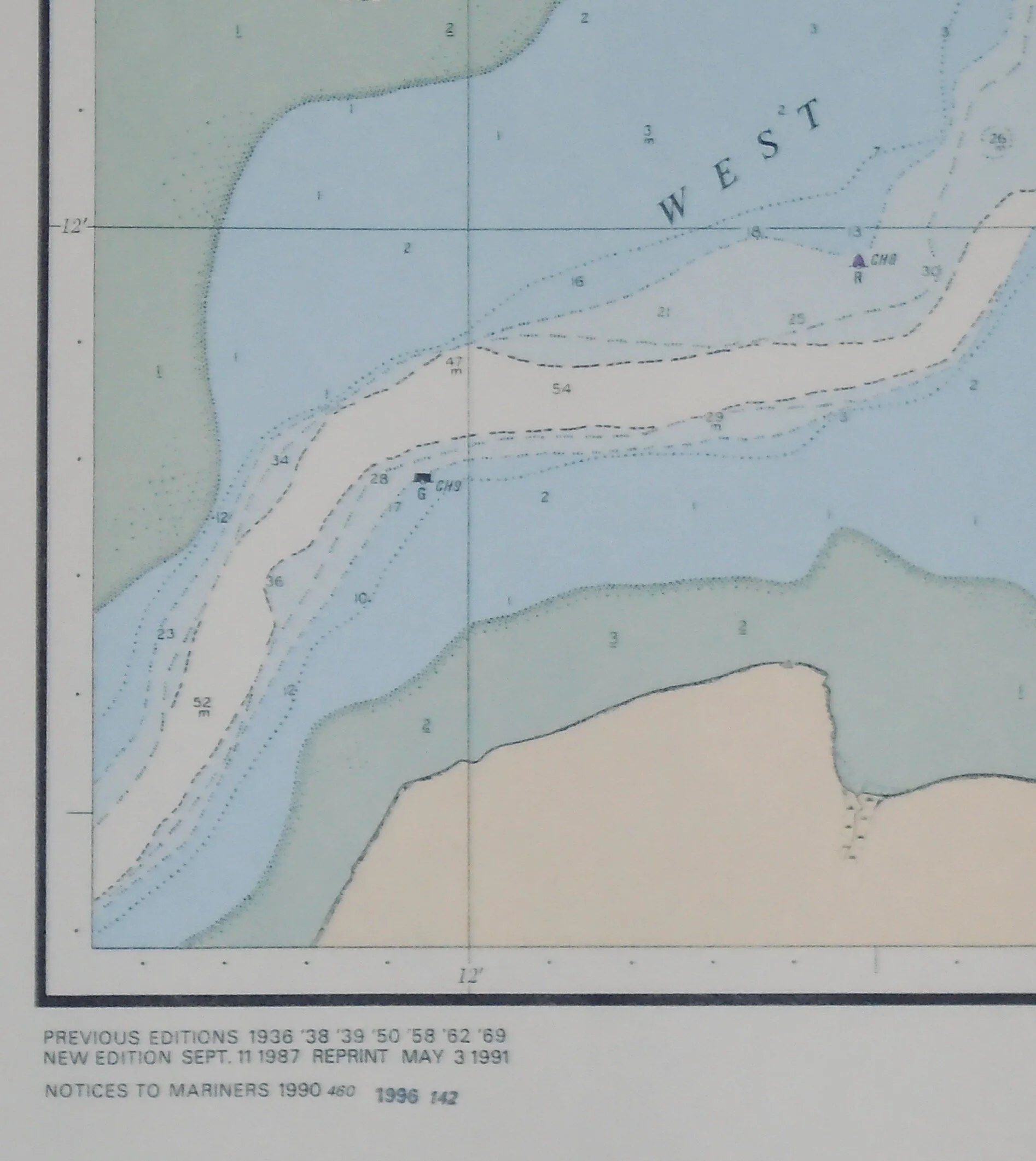
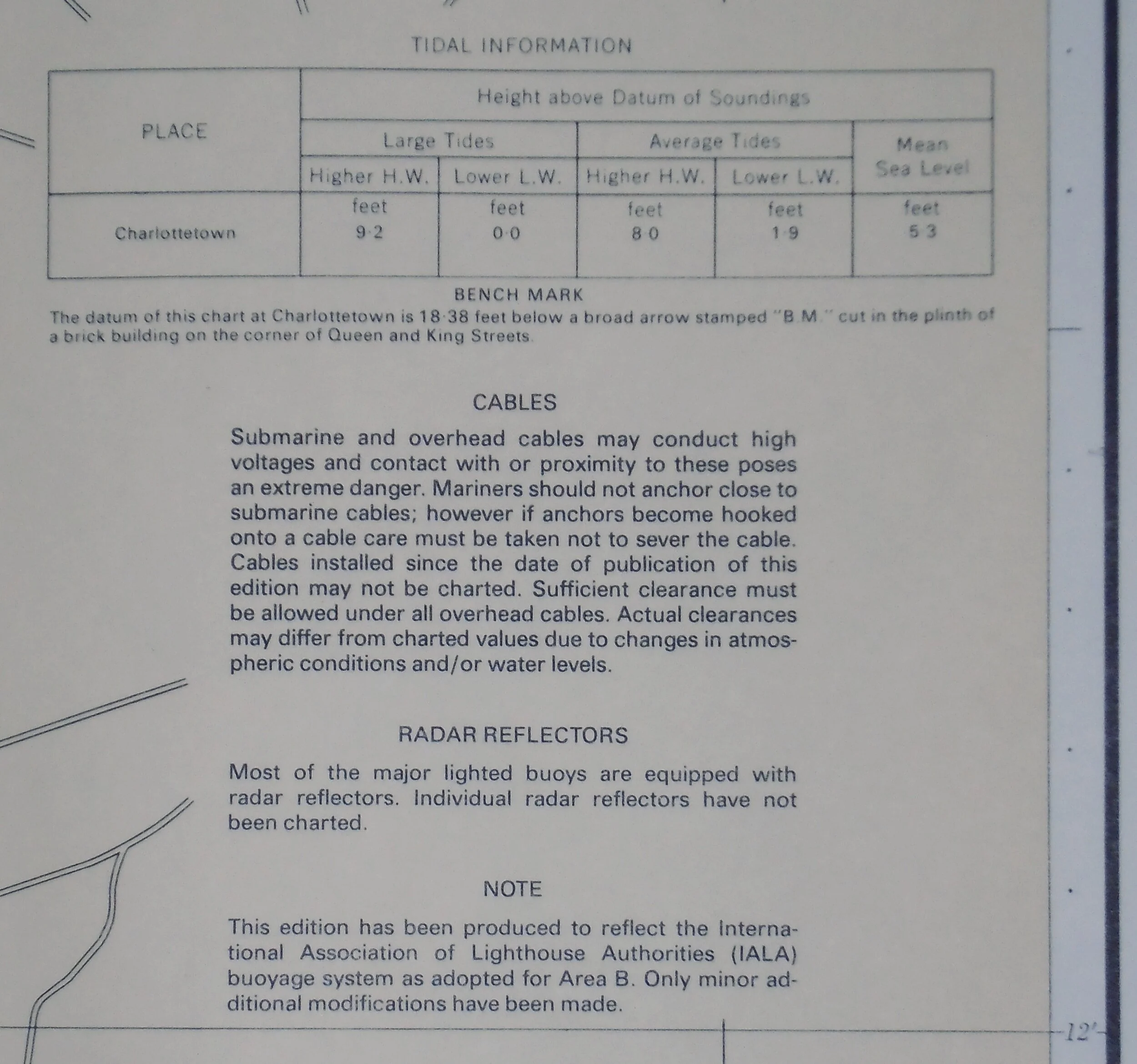
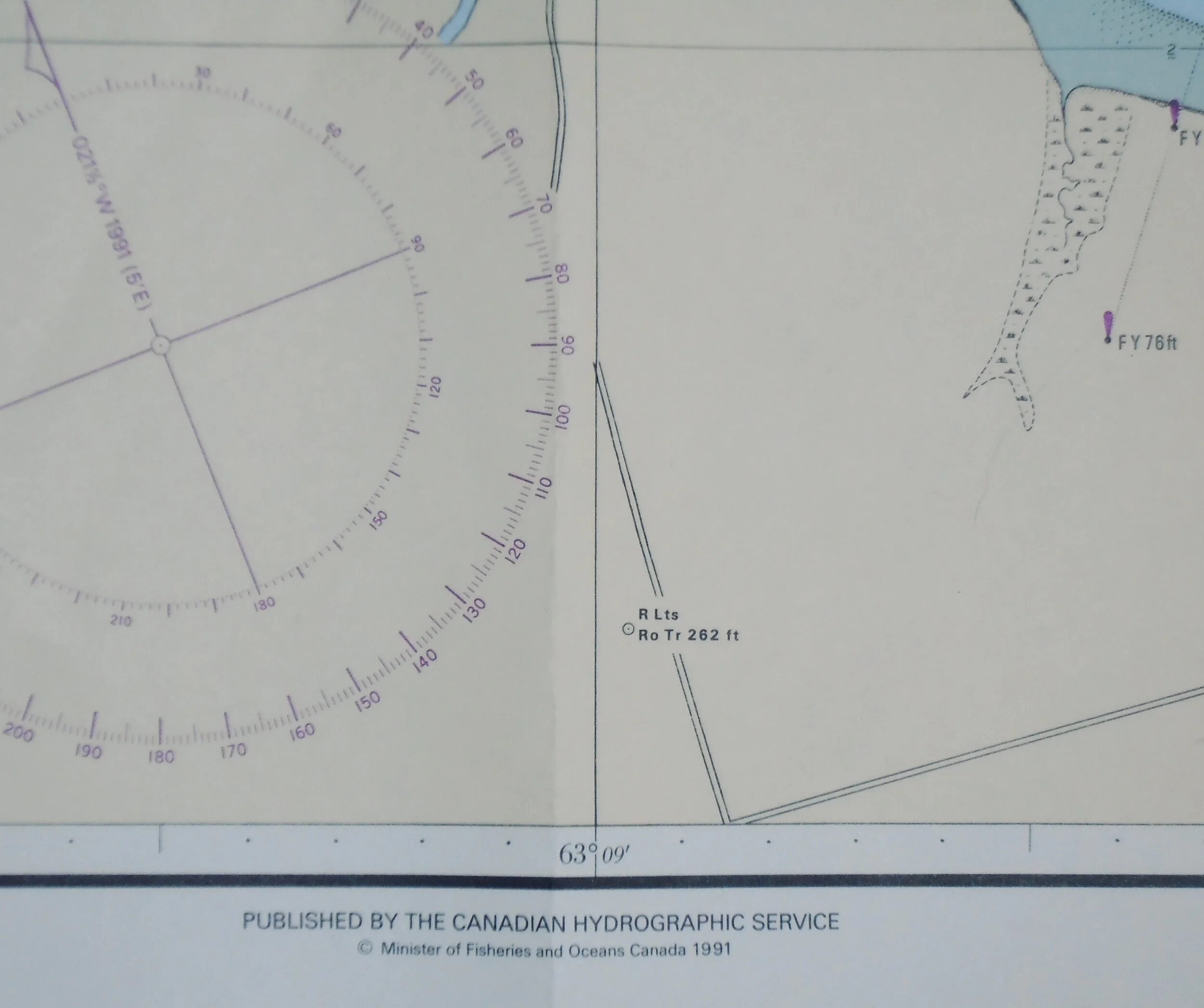
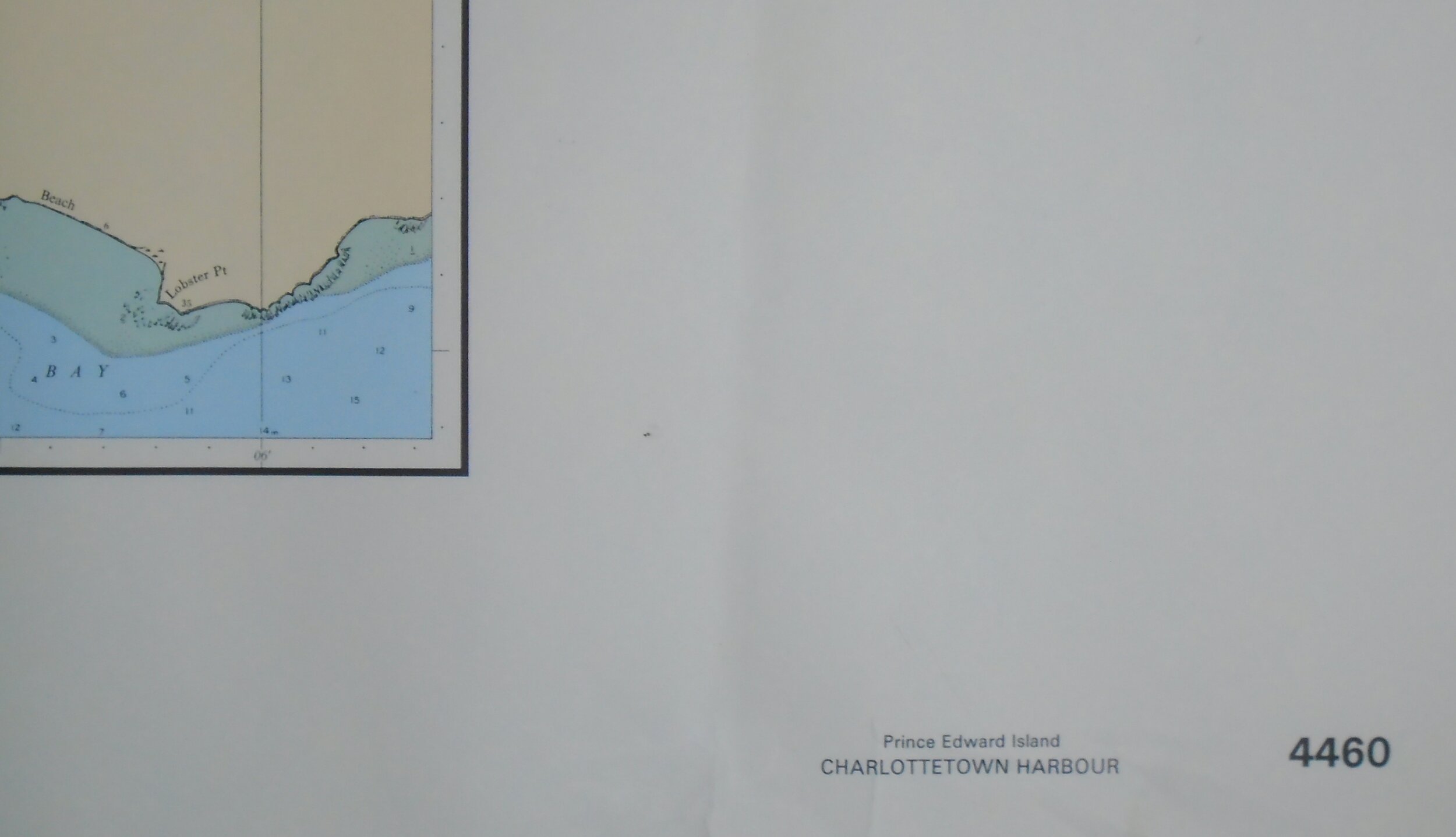
Title: Charlottetown Harbour
Publisher: Canadian Hydrographic Service, Ottawa: 1991
Image size: 26 1/2” x 29” (67.3 x 73.7 cm) to the neat line
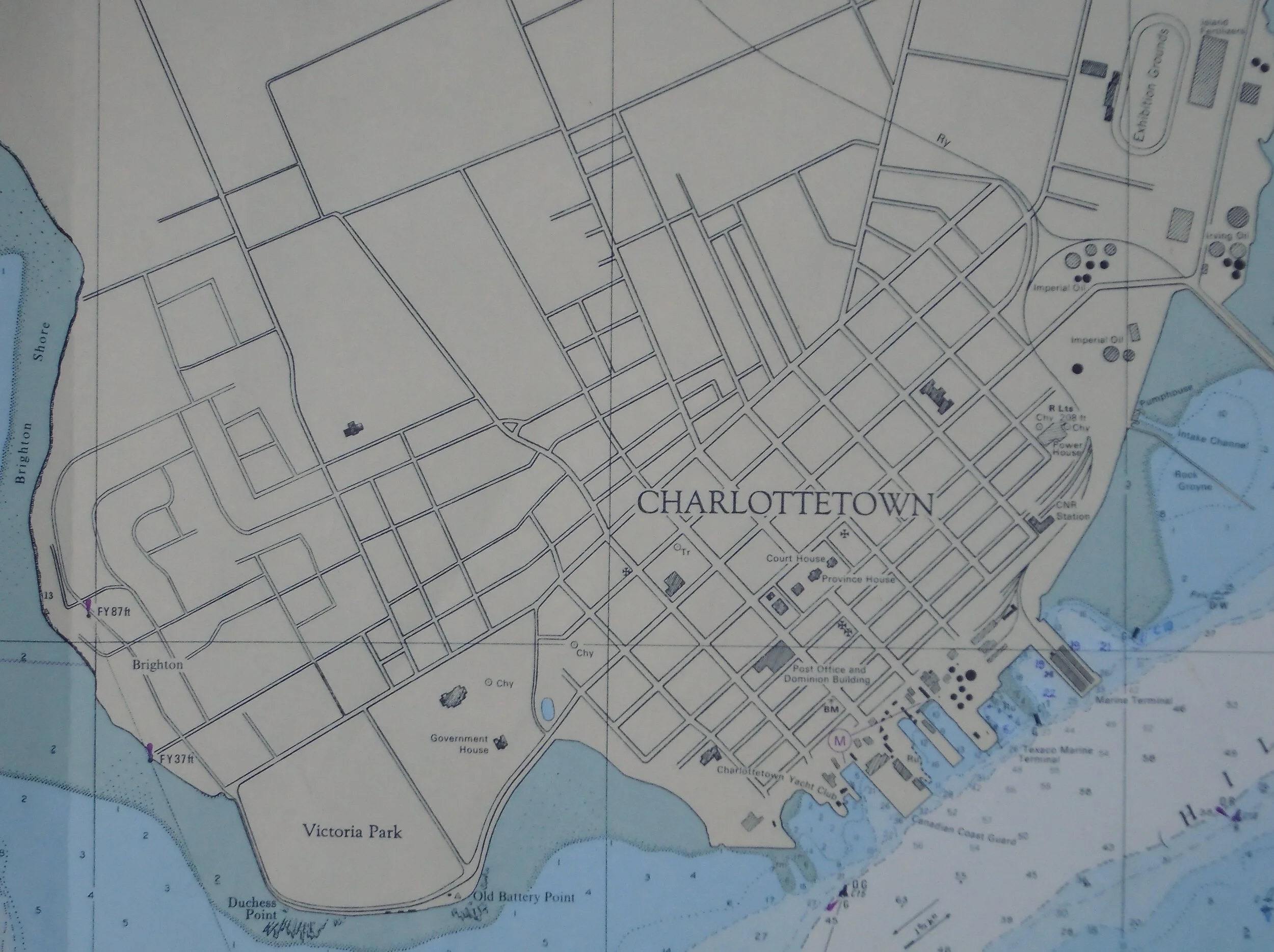
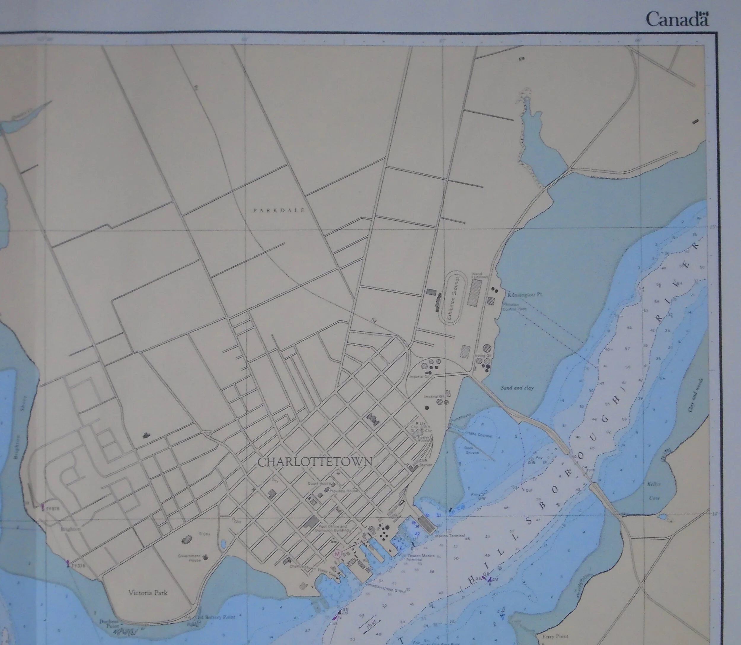
Description: Coastal navigation chart depicting Charlottetown Harbour with detail of streets in the downtown 500 Lot area. Includes Notices to Mariners to 1998-03-07. Vertical fold, as issued. Edge wear and soiling consistent with age and usage.
