Maps
Hillsborough Bay (1996)
Hillsborough Bay (1996)
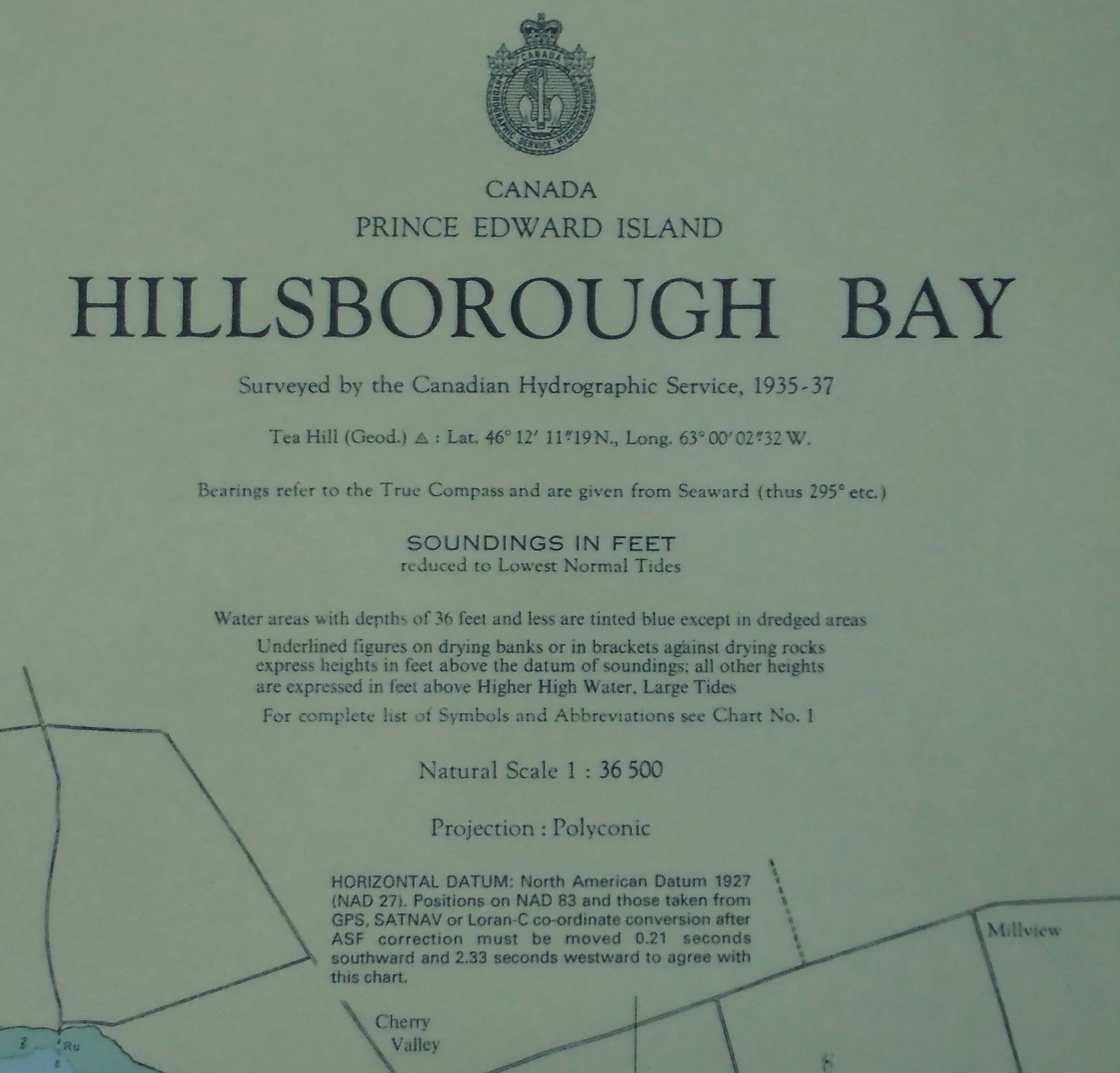
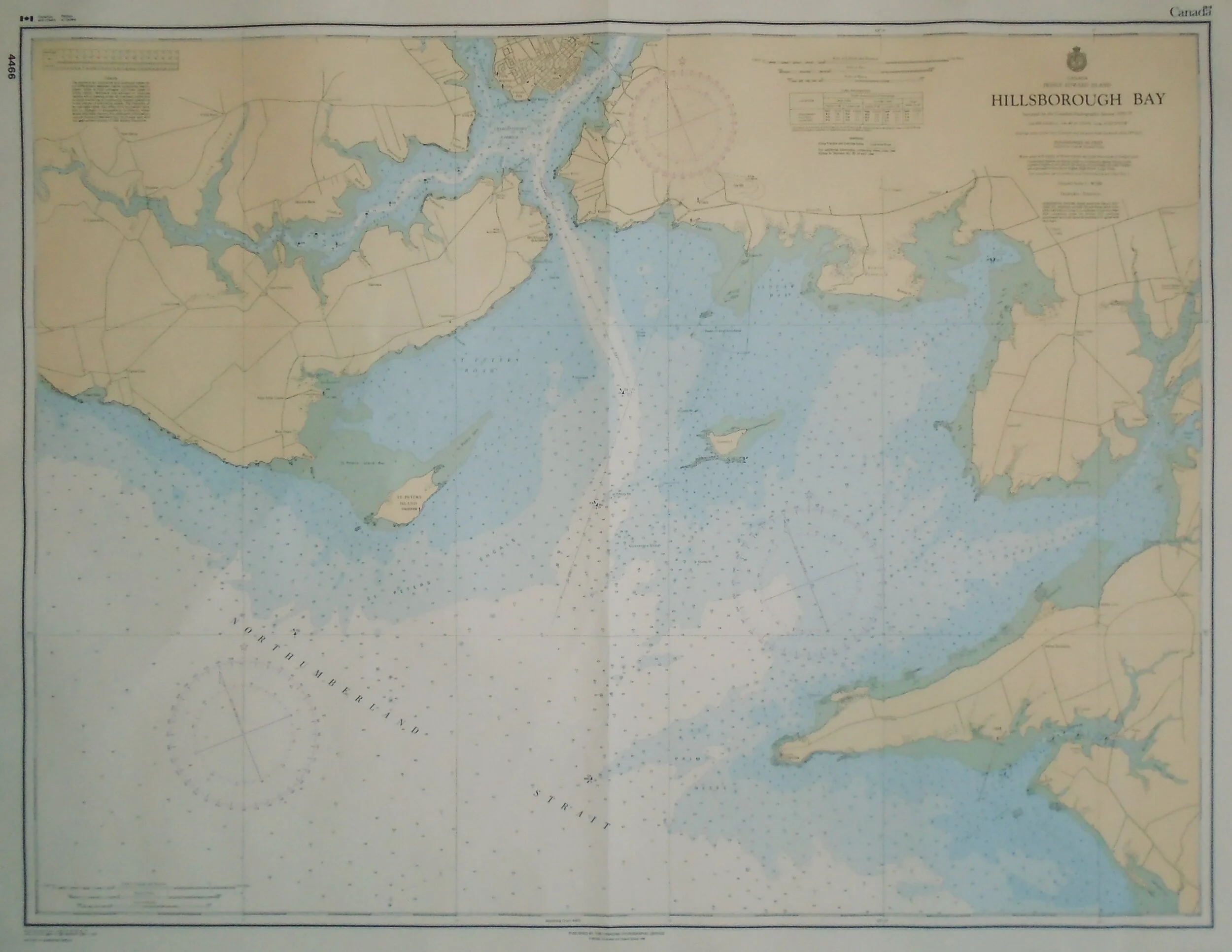
Title: Hillsborough Bay
Publisher: Canadian Hydrographic Service, Ottawa: 1996
Image size: 26” x 39” (66.0 x 99.1 cm) to the neat line
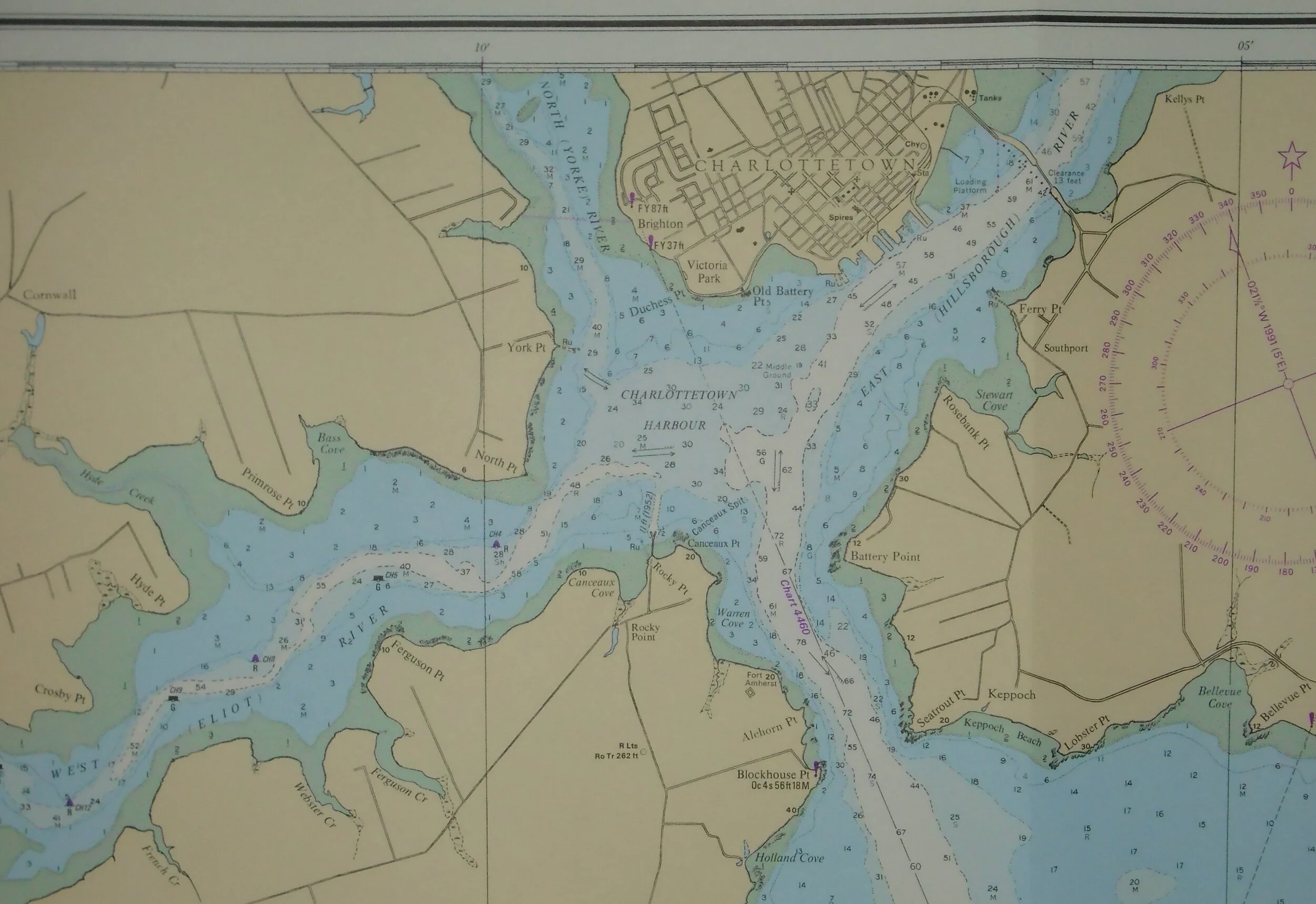
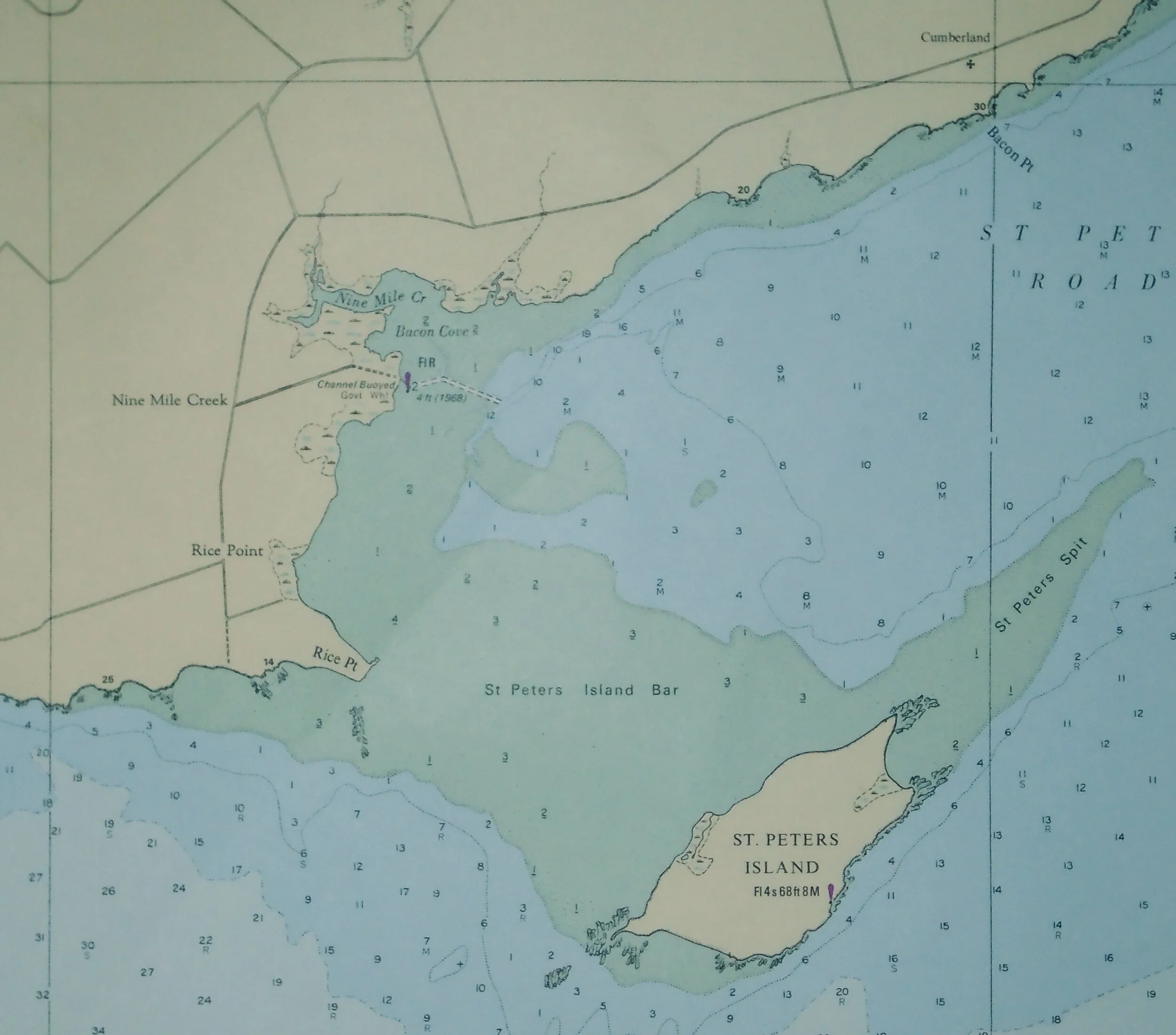
Description: Coastal navigation chart depicting Hillsborough Bay from Point Prim to Canoe Cove, including Charlottetown Harbour. Includes Notices to Mariners to 1995. Vertical fold, as issued. Edge wear consistent with age and usage.
