Maps
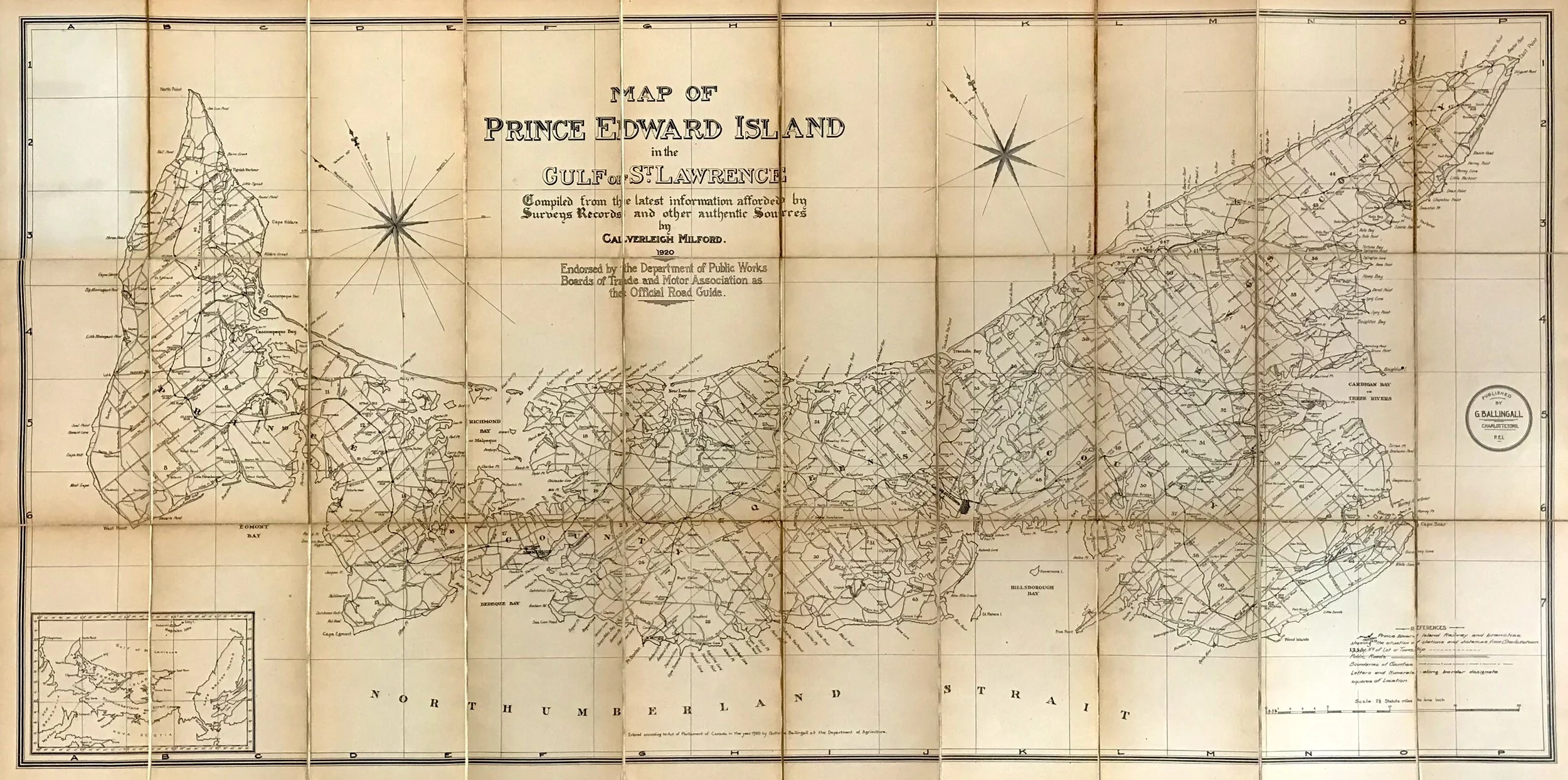
PEI Map (1920)
PEI Map (1920)
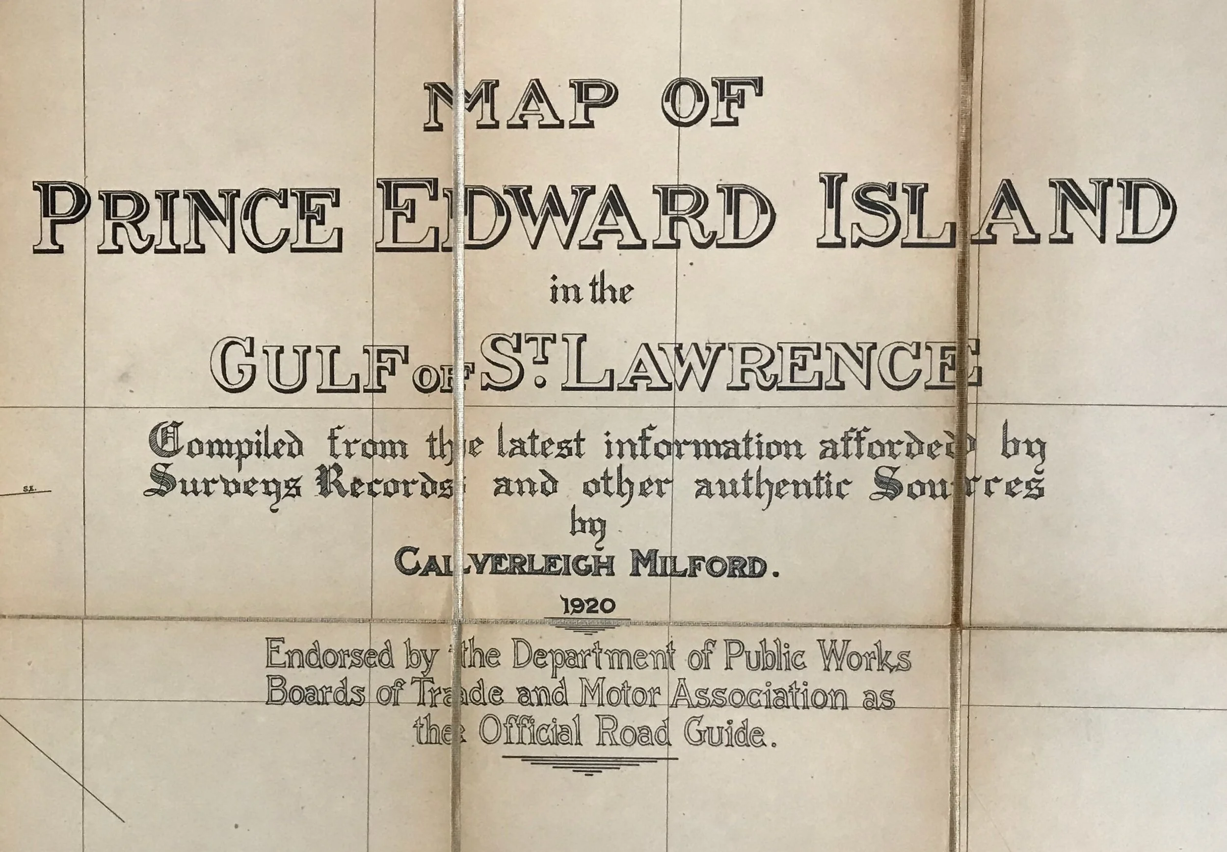
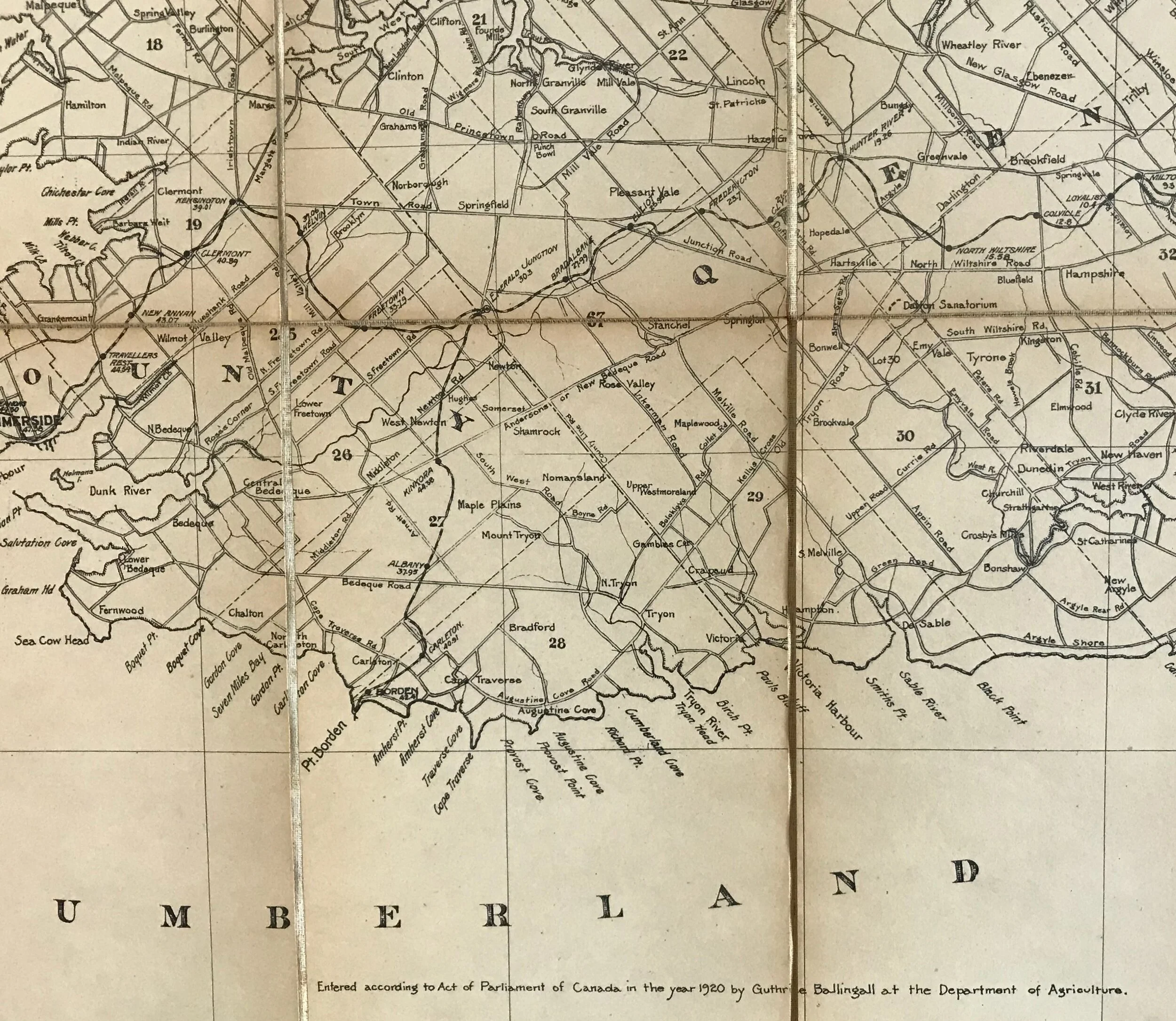
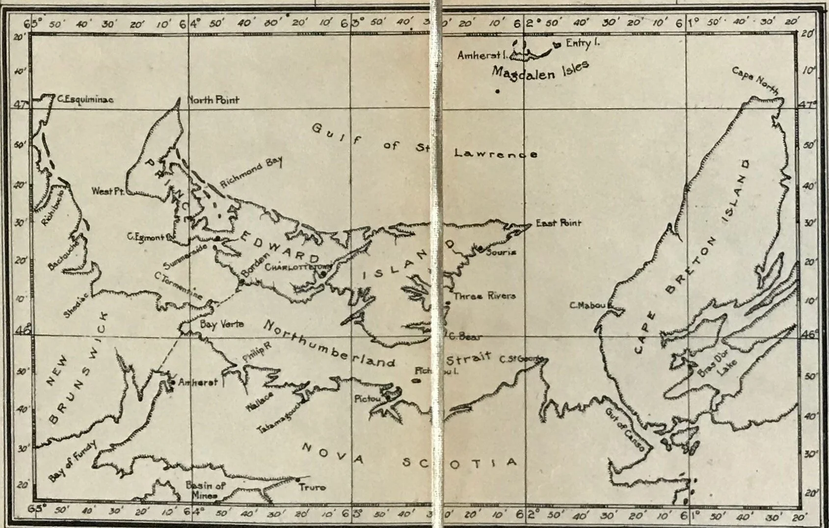
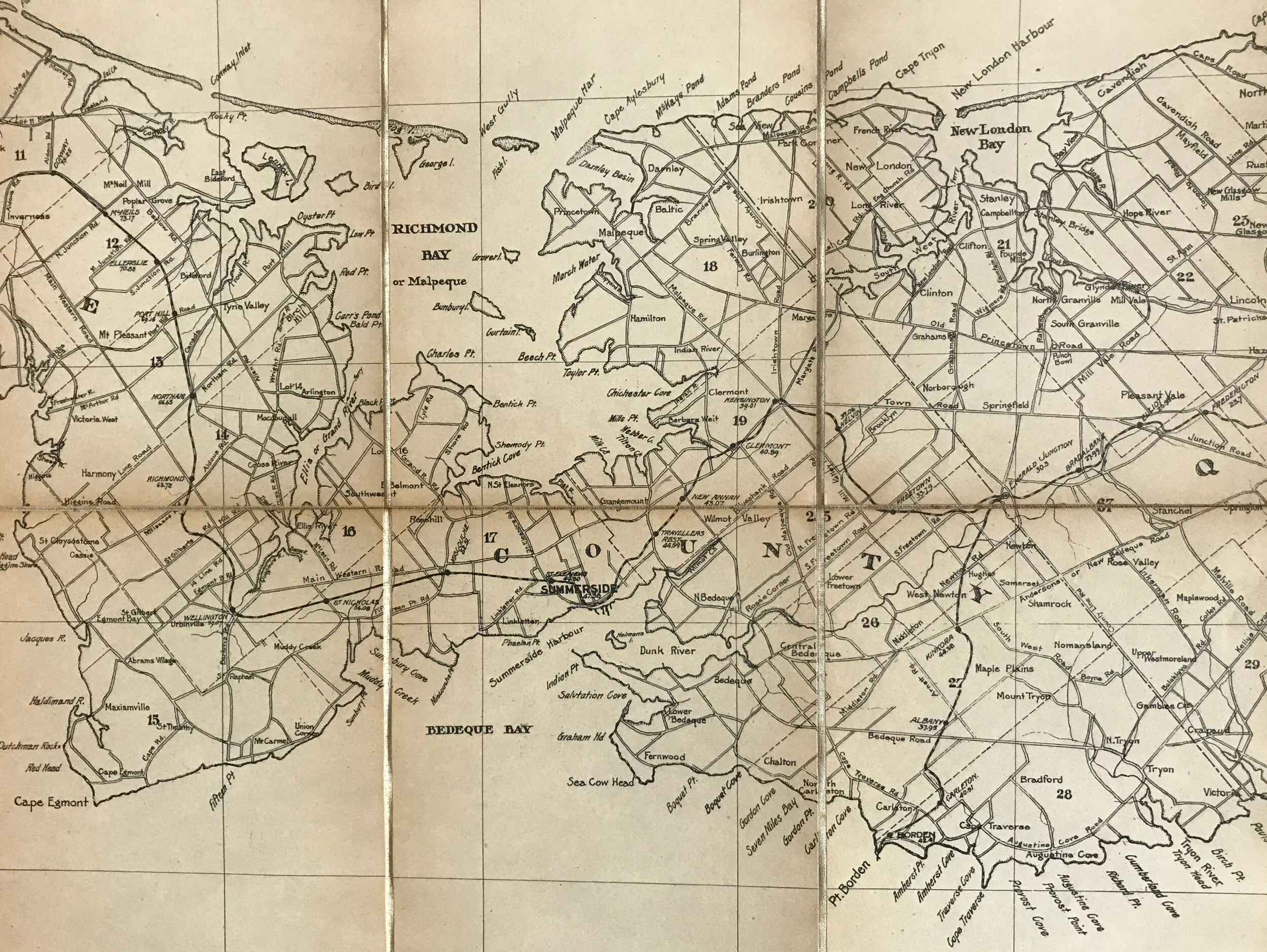
Title: Map or Prince Edward Island in the Gulf of St. Lawrence Compiled from the latest information afforded by Survey Records and other authentic Sources by Calverleigh Milford
Publisher: Guthrie Ballingall, Charlottetown, P.E.I.: 1920
Image size: 24” x 49” (61.0 x 124.5 cm) to outer neat line.
Description: Lithograph on paper, dissected into 30 sections, mounted on linen, and bound between covers. Covers show minor edge wear. Paper shows age toning. Linen shows foxing. Previous owner’s name appears in ink on front endpaper (inside front cover).
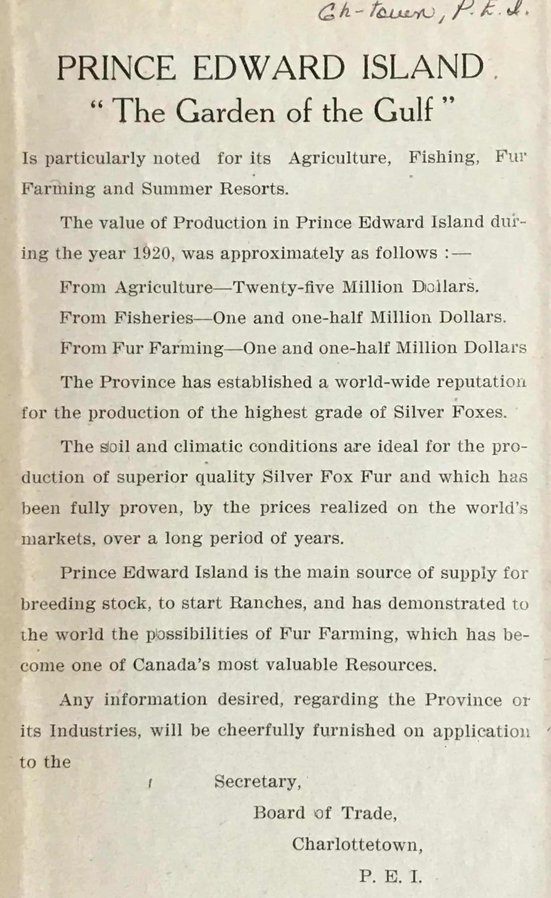
Prince Edward Island, “The Garden of the Gulf”
Is particularly noted for its Agriculture, Fishing, Fur Farming and Summer Resorts. The value of Production in Prince Edward Island during the year 1920, was approximately as follows: - From Agriculture - 25 million dollars. From Fisheries - 1.5 million dollars. From Fur Farming - 1.5 million dollars. The Province has established a world-wide reputation for the production of the highest grade of Silver Foxes. The soil and climatic conditions are ideal for the production of superior quality Silver Fox Fur and which has been full proven, by the prices realized on the world’s markets, over a long period of years. Prince Edward Island is the main source of supply for breeding stock, to start Ranches, and has demonstrated to the world the possibilities of Fur Farming, which has become one of Canada’s most valuable Resources. Any information desired, regarding the Province or its Industries, will be cheerfully furnished on application to the Secretary, Board of Trade, Charlottetown, P.E.I.
Source: Map Introduction
