Maps
Prince Edward Island (1976)
Prince Edward Island (1976)
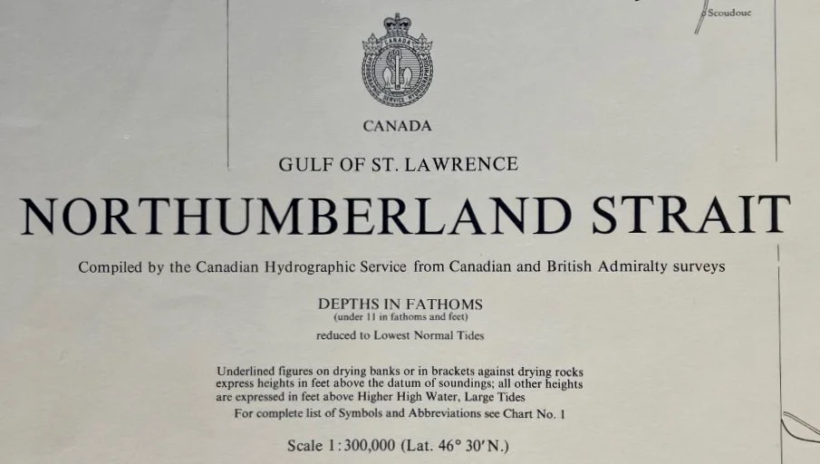
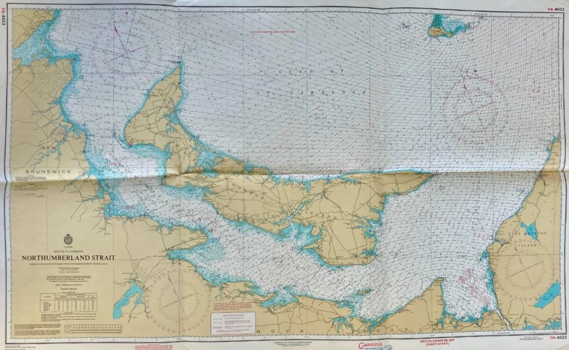
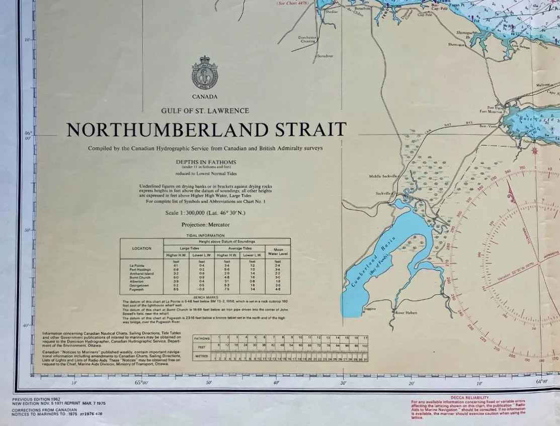
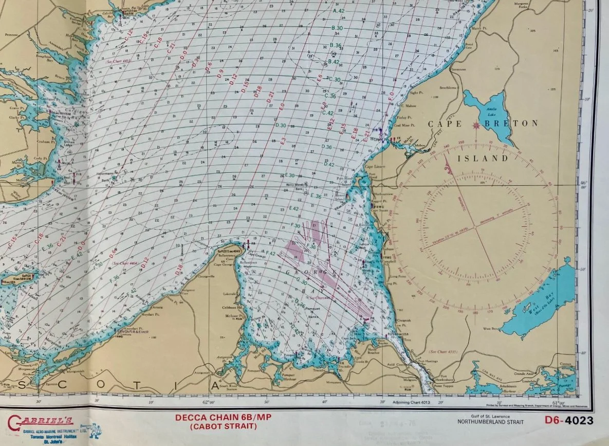
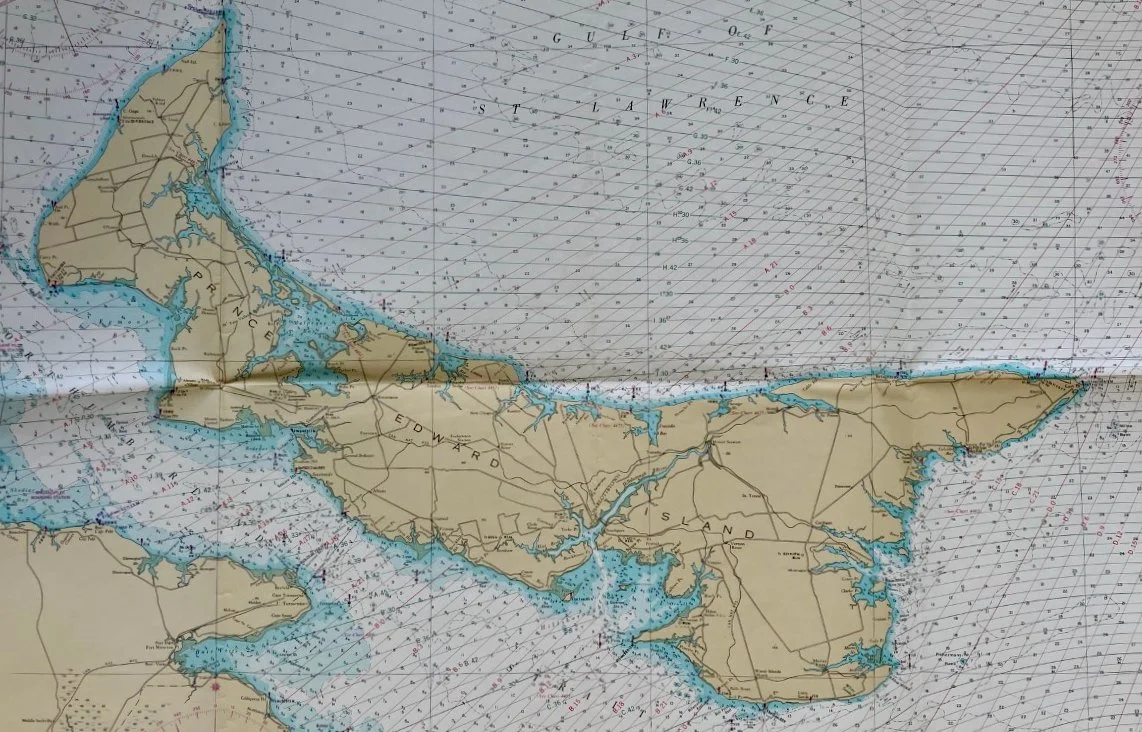
Title: Canada / Gulf of St. Lawrence / Northumberland Strait
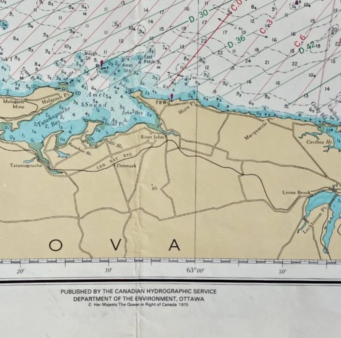
Publisher: Canadian Hydrographic Service, Ottawa: 1975 (1976)
Image size: 26 1/4” x 44” (66.7 x 111.8 cm) to the outer neat line
Description: Large nautical chart focusing on the Northumberland Strait separating Prince Edward Island from the mainland. Map shows one horizontal and two vertical folds, as found. Overall, we rate the condition as fair to good.
