Maps
Fire Insurance Maps Atlas (c1965)
Fire Insurance Maps Atlas (c1965)
Title:
Publisher: Underwriter’s Survey Bureau, Toronto & Montreal: 1956-1968
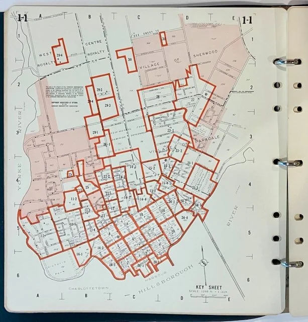
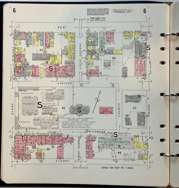
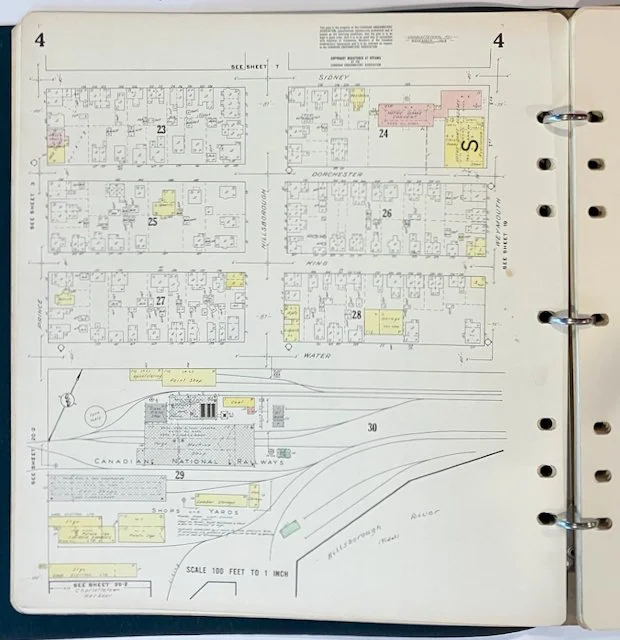
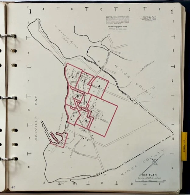
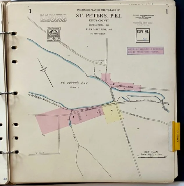
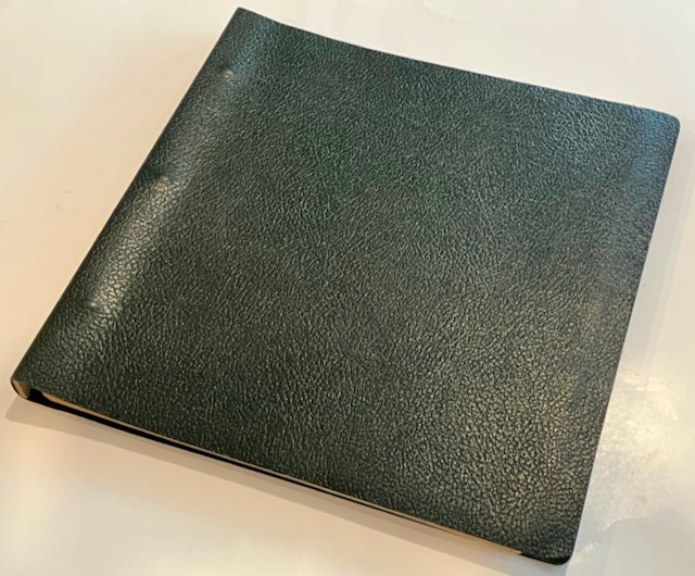
Description: Folio. Illustrated with 63 plates. Includes Charlottetown and towns in eastern Prince Edward Island. Bound in original three-ring binder with flexible plastic wraps showing simulated leather surface. Overall, we rate the condition as good.
Charlottetown, 1968 - 17 maps
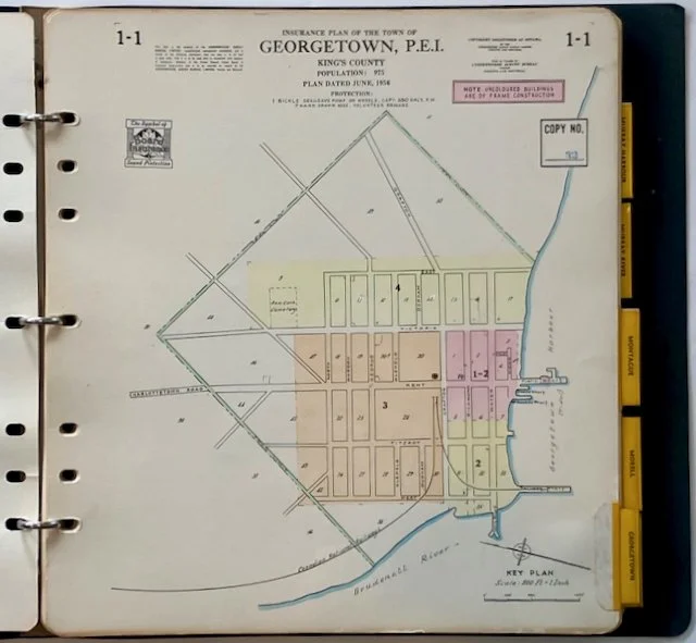
Georgetown, 1956 - 5 maps
Montague, 1956 - 6 maps
Morell, 1956 - 6 maps
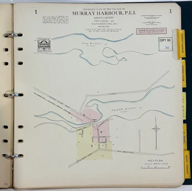
Murray Harbour, 1956 - 4 maps
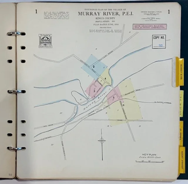
Murray River, 1956 - 6 maps
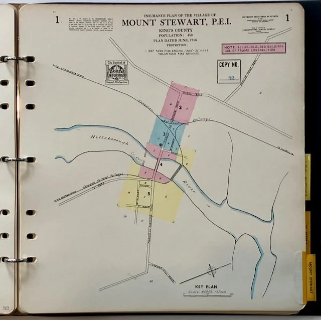
Mount Stewart, 1956 - 5 maps
Souris, 1962 - 9 maps
St. Peters, 1956 - 4 maps
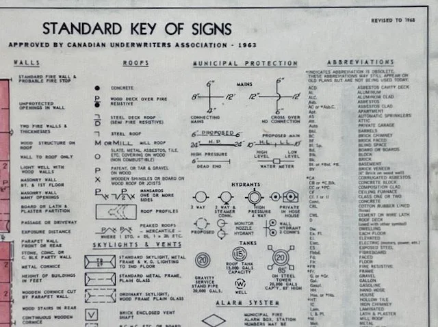
Fire insurance plans are a unique and detailed form of mapping that existed from the 1870s through to the 1970s. At the time of their creation, buildings in cities and towns were mostly made of wood and fire fighting techniques were rudimentary. Cities were growing rapidly as a result of the shift from agriculture to industry, and so, their urban cores were becoming more populated. As a result, small fires could quickly grow out of control and spread, destroying large portions of the community. Many North American cities suffered just such a fate. In response, several companies started business producing detailed plans and atlases, showing every individual building in the built-up urban core. Colours and symbols were used to describe every aspect of each building's structure, from the materials used in its construction, to the presence and location of hazardous materials on the property. Private insurance companies purchased the plans enabling them to estimate the cost of insurance for a client without ever having to visit the site. By the last quarter of the 20th-century, modern building materials and construction methods, as well as improved firefighting equipment and techniques, had reduced the risk of fire, thus making production of these the maps cost-prohibitive. Today, the plans are mainly used as detailed historical records of a community’s evolution. Engineers, environmental scientists and biologists examine them to determine whether particular properties may have been contaminated in the past based upon former land use. In addition, archaeologists, genealogists, and historians often use them in their research.
Source: McMaster University Library
In 1883, 30 insurance companies came together to form the Canadian Fire Underwriters' Association (CFUA). Their aim was to observe the fire underwriting rules and rates being created. Instrumental to this was the creation of town classifications for firefighting capabilities and loss control related to electrical, lighting, and appliances fire concerns. The association has undergone several reorganizations and name changes, and is now known as Opta Information Intelligence - part of the SCM insurance group of companies.

