Peter R. Furse
Prince Edward Island (1964)
Prince Edward Island (1964)
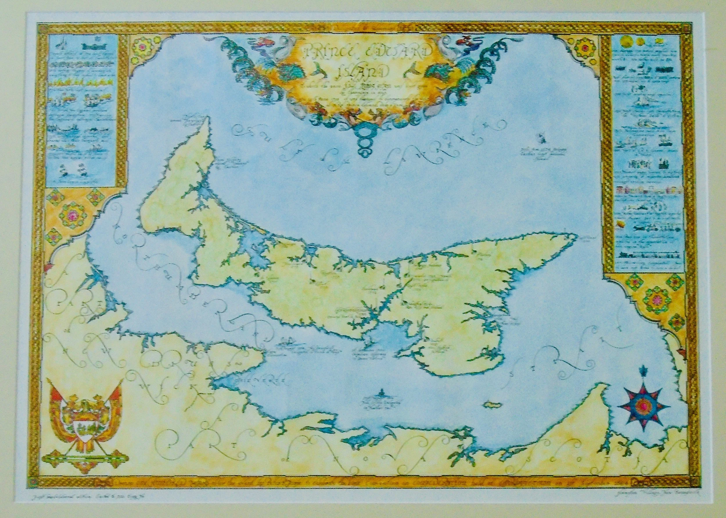
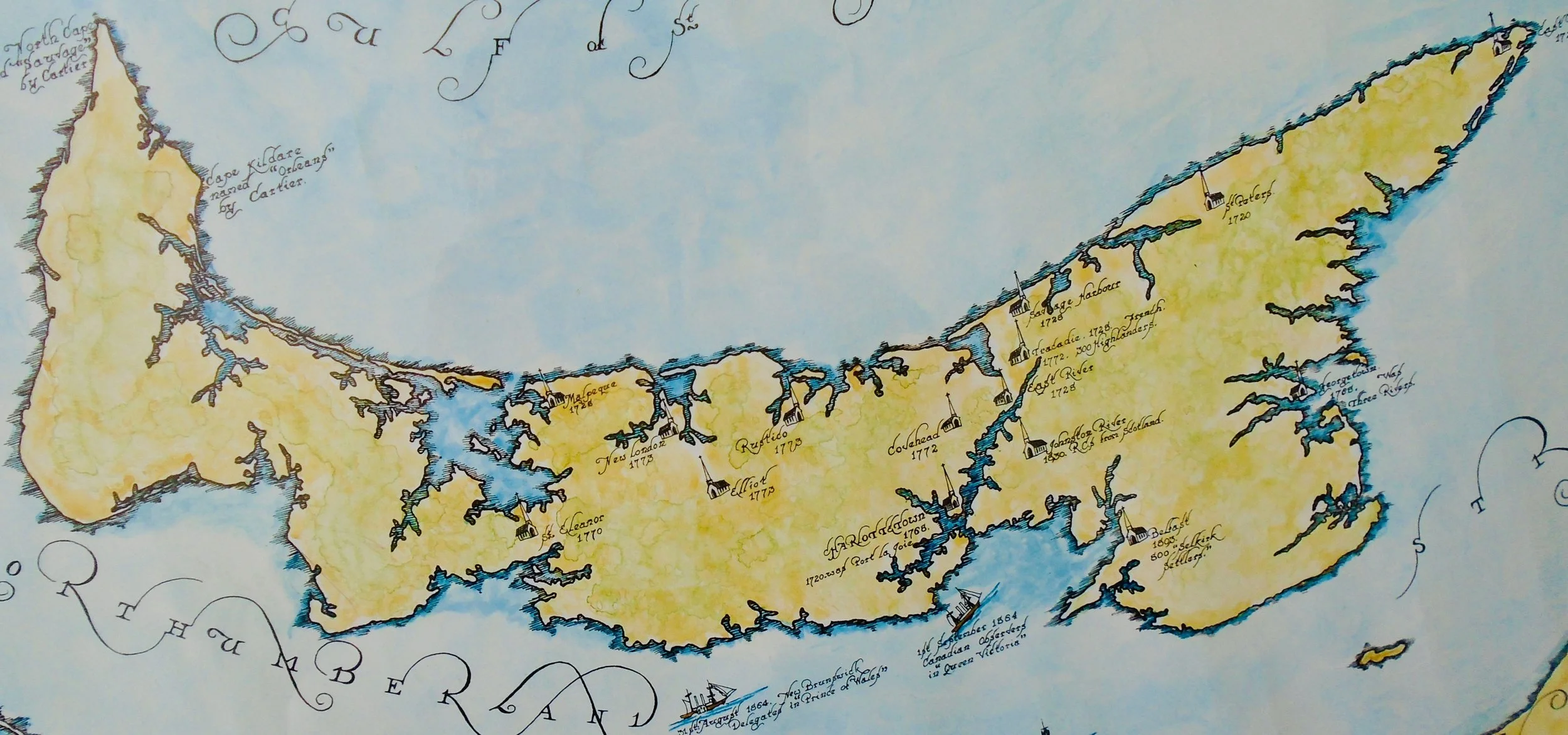
Title: Prince Edward Island (1964)
Artist: Peter R. Furse
Image size: 17 1/2” x 25” to the outer neat line.
Frame size: 27” x 34” x 1”
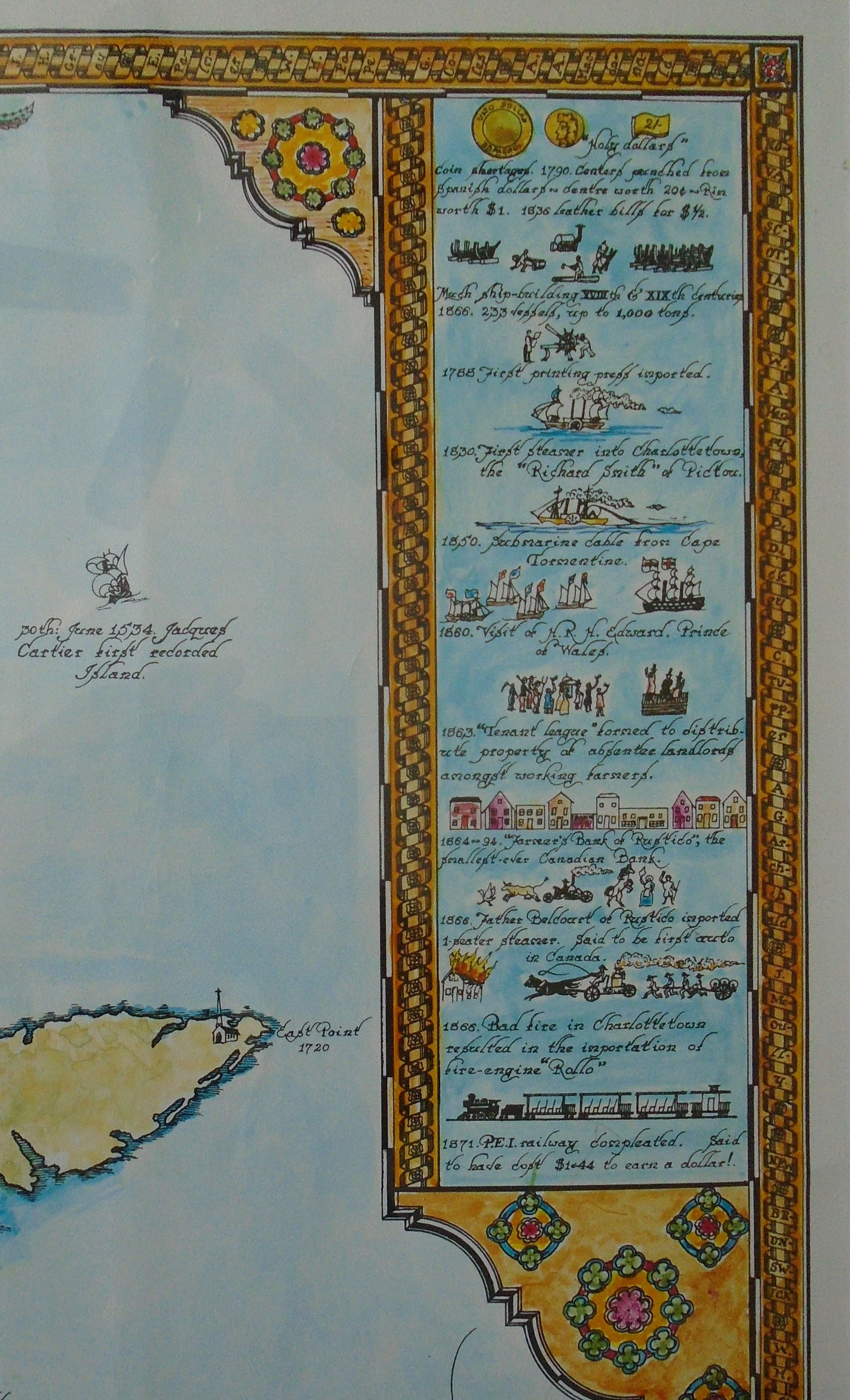
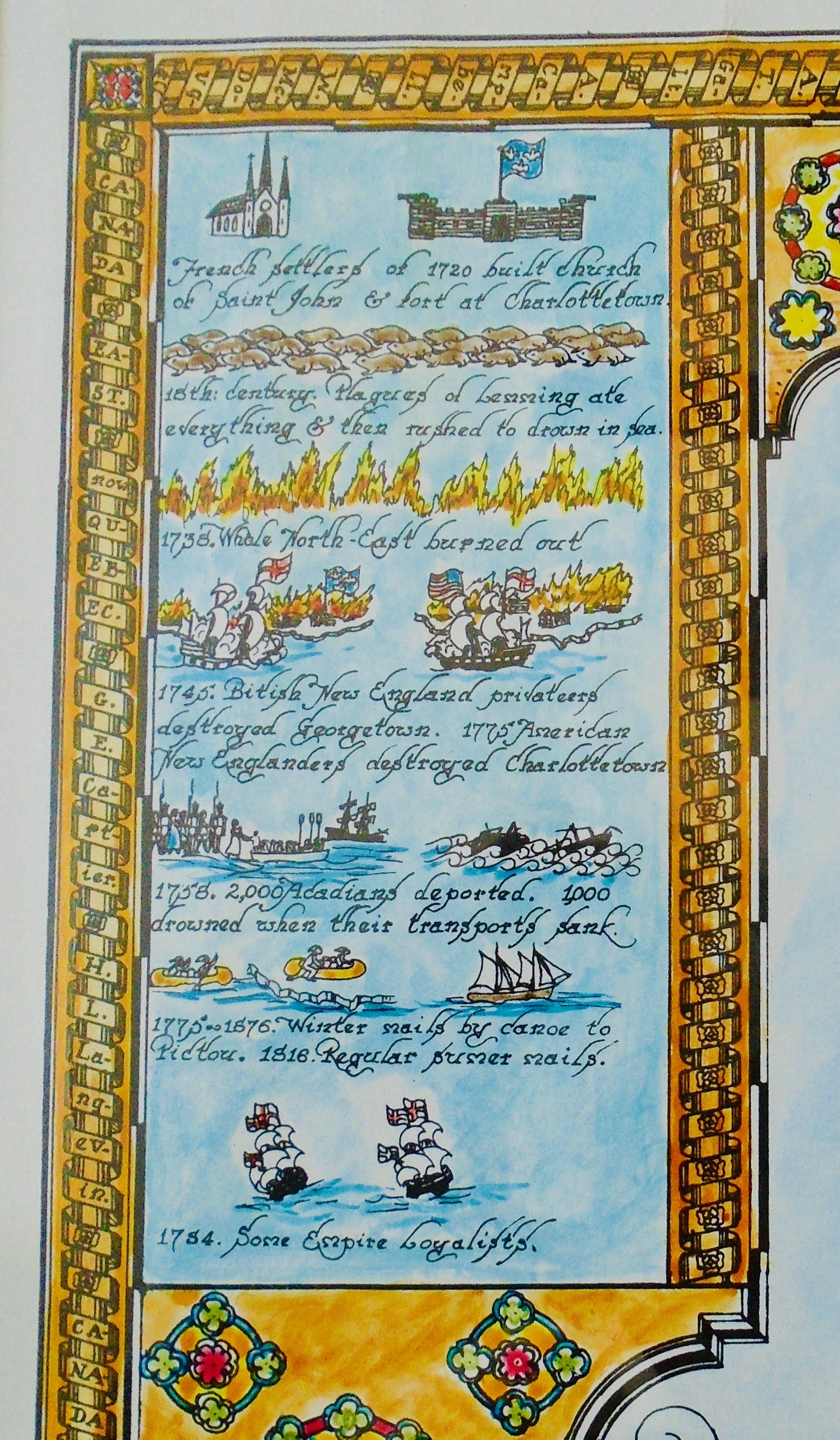
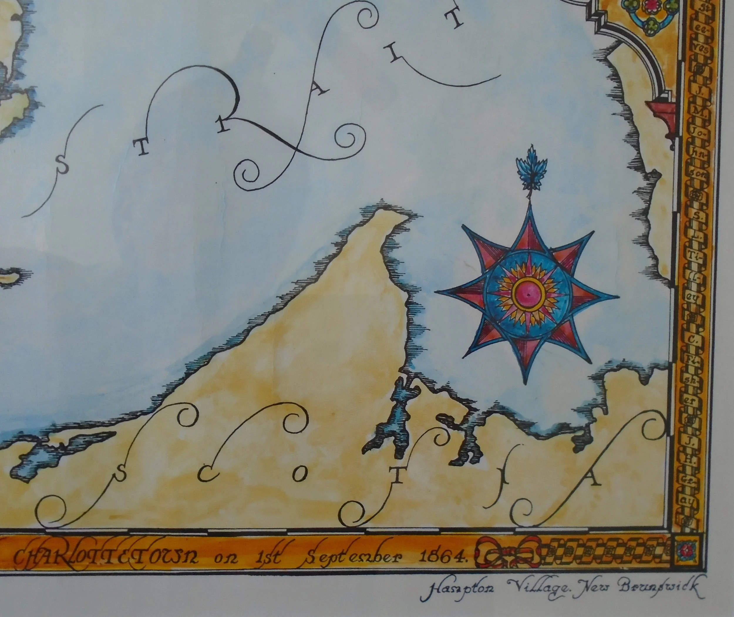
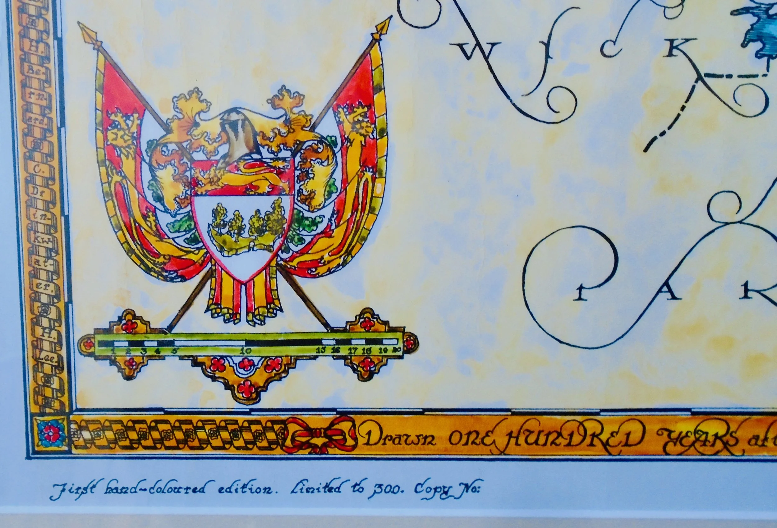
Description: Hand-colored lithograph. One of an edition of 300. Matted and framed under glass. Map issued to commemorate the 100 anniversary of the 1864 meeting in Charlottetown at which the subject of British North American union was first discussed.
Peter Furse was a British Navy officer who began his service WWI at age 17, during which time he received his first exposure to map drafting. After the war he continued his education at the University of Cambridge. When WWII came, he again served with the Royal Navy, ultimately elevating to the rank of Lieutenant commander. After spending several years in Africa, Furse and his wife, Barbara, emigrated to the village of Hampton, New Brunswick, Canada. While in Africa, Furse developed an interest in pictorial maps, which he continued after moving to North America. He died in New Brunswick in 1970.
