Maps
1807 - Atlantic Provinces


1807 - Atlantic Provinces
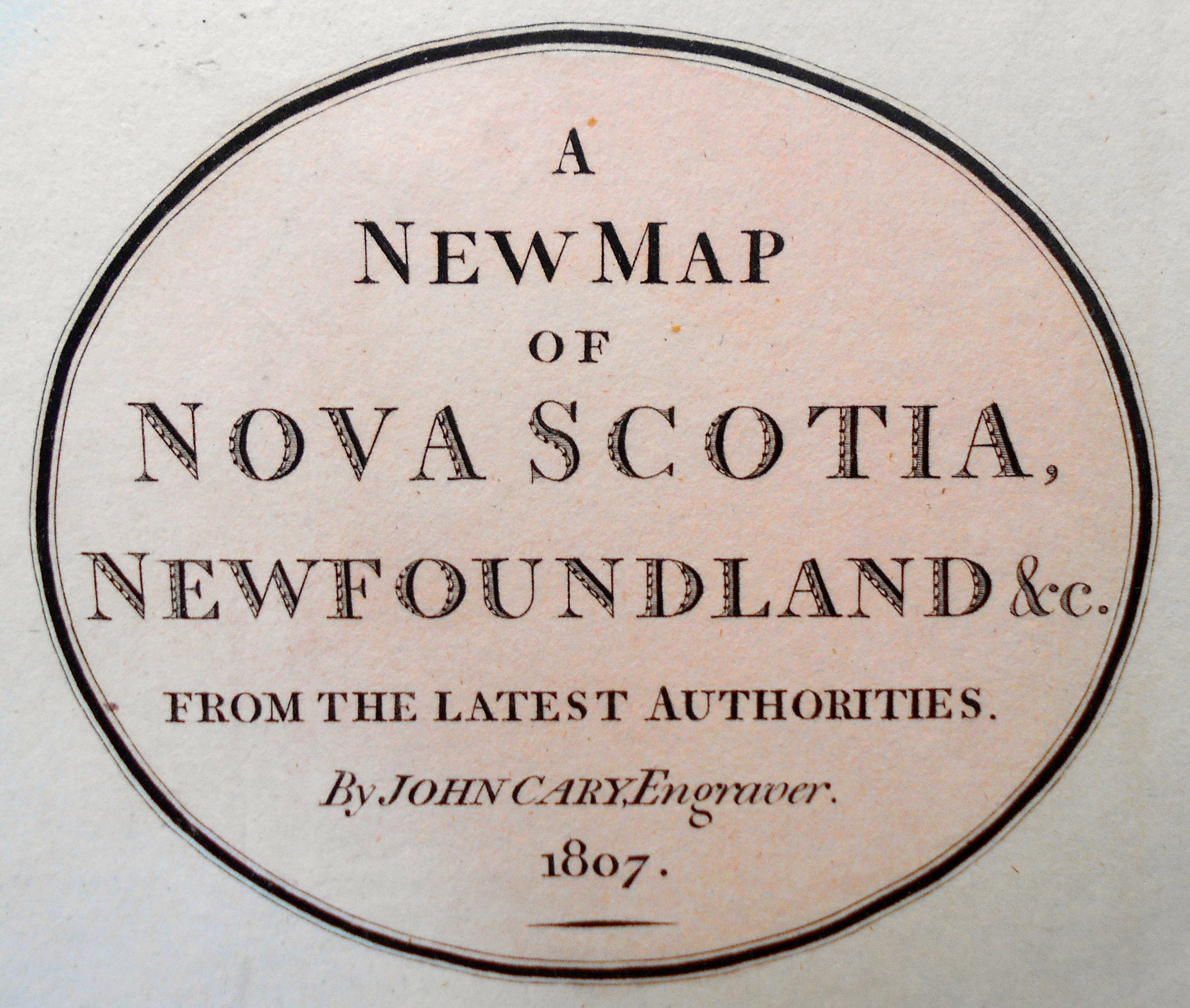
Title: A New Map of Nova Scotia, Newfoundland &c from the Latest Authorities, 1807
Cartographer: John Cary
Image Size: 18 x 20 1/2” (to outer neat line)
Description: Original copper plate engraving with early hand-coloring. Liberated from an edition of Cary’s New Universal Atlas, published in London, 1808.
John Cary (c1754–1835) was an English cartographer. He served his apprenticeship as an engraver in London, before setting up his own business in the Strand in 1783. Cary soon gained a reputation for his maps, globes, and atlases. One, The New and Correct English Atlas, published in 1787, became a standard reference work in England. In 1794, Cary was commissioned by the Postmaster General to survey England's roads. This resulted in Cary's New Itinerary (1798), a map of all the major roads in England and Wales. He also produced Ordnance Survey maps prior to 1805. In his later life, Cary collaborated on geological maps with the geologist William Smith. Eventually, Cary’s business was taken over by G. F. Cruchley (1822–1875). Biographer, George Fordham, says John Cary was the “most prominent and successful exponent of his time … the founder of what we may call the modern English school [of mapmaking].”
Primary Source: Wikipedia