Maps
Prince Edward Island (1918)


Prince Edward Island (1918)
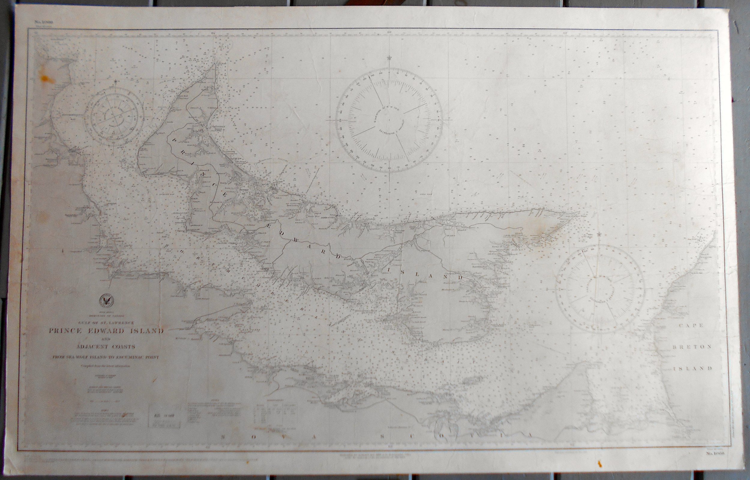
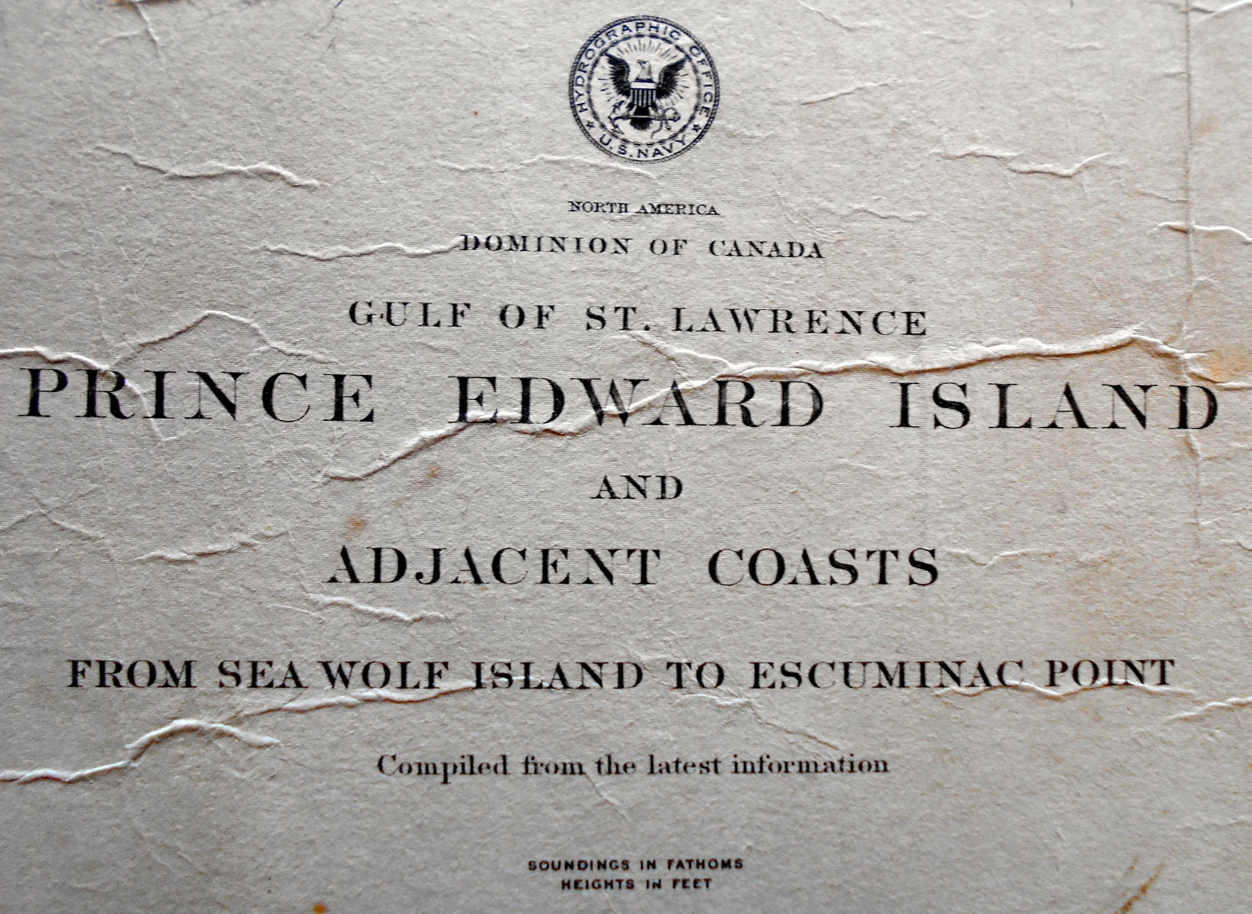
Title: North America / Dominion of Canada / Gulf of St. Lawrence / Prince Edward Island and Adjacent Coasts / from Sea Wolf Island to Escuminac Point / Compiled from the latest information.
Description: Published by US Navy, Washington: 1888. 39th Edition: April 1918. Issued: August 1918. Measures 23 x 38 1/2" to the neat line. Ample margins. Blank on reverse. Shows creasing and minor staining. Professionally mounted on card backing. Will be shipped flat.
A nautical, coastal, or sea chart is a graphic representation of a maritime area and adjacent coastal regions. It may show depths of water and heights of land, natural features of the seabed, details of the coastline, navigational hazards, locations of natural and human-made aids to navigation (such as lighthouses), information on tides and currents, local details of the Earth's magnetic field, and human-made structures such as harbours, buildings and bridges. Nautical charts are essential tools for marine navigation; many countries require vessels, especially commercial ships, to carry them. Inasmuch as they were working documents, the charts often show signs of use including creasing and soiling from handling.
Source: Wikipedia